Snappy new way to monitor and protect Moreton Bay beaches
Published 09 February 2023
You can now “see it, snap it, share it” when enjoying the great outdoors in the Moreton Bay region.
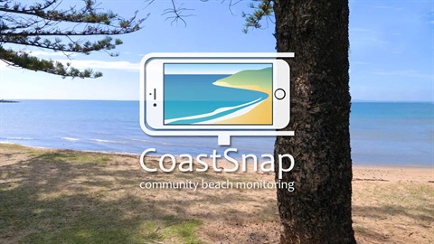
Council, residents and visitors are working together to record beach erosion, tidal inundation and recovery at nine regional sites, with the launch of the community photo beach monitoring initiative “CoastSnap”.
CoastSnap will see mobile phone holders installed at Redcliffe, Scarborough, Deception Bay, Bongaree and Woorim, enabling residents to become ‘citizen scientists’ with a click of a button.
Mayor Peter Flannery said photos taken at the sites and uploaded online would help Council monitor beaches in real time, identify areas of need, and understand and manage coastal environments for years to come. They also enable the community to observe long-term changes along the coastline.
“When residents and visitors take photos at the CoastSnap sites, they capture the same beach and accurately track how it changes because of seasonal fluctuations, storms, rising sea levels and human activities.
“We love our coastline. Our beaches, estuaries, canals and seaside spots have always been attractive locations to live, work and play.
“It’s clear our coastal landscapes are always changing, with powerful storms moving sand offshore - as often happens at places like Woorim Beach - and sands typically returning during calmer conditions.
“Your snaps will help Council to understand beach processes and turns you, as a contributing photographer, into a citizen scientist, giving everyone a glimpse of how our beaches change in time.
“Erosion, accretion and inundation naturally shape the coastline. However, they can become hazards when they impact coastal assets and values, and how we use and enjoy our coastal spaces.
“CoastSnap adds to Council’s suite of initiatives that forms our long-term Coastal Hazard Adaptation Strategy to plan and prepare for future coastal impacts.
“We work with all levels of government and community groups - and now with coastal scientists from the University of New South Wales on CoastSnap - using a specialised technique called photogrammetry to pinpoint the coastal position and forecast how it might change in the coming decades.
“The free CoastSnap phone app maps the location, date and time of the snap. Then the technology behind CoastSnap can compile the uploaded images into a time-lapse video to track changes to our shoreline.
“The more photos we have of a particular site, the better our understanding becomes of how that stretch of coast is changing over time, so the better we can plan and manage the shoreline.”
Mayor Flannery said beaches on the Gold Coast, Sunshine Coast and Port Douglas also had phone holders installed and are being photographed for CoastSnap.